 Avris
Avris
 Avris
Avris

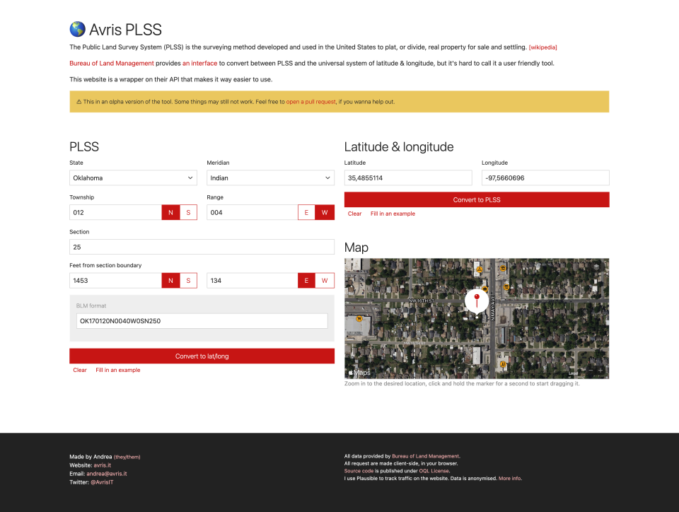
The Public Land Survey System (PLSS) is the surveying method developed and used in the United States to plat, or divide, real property for sale and settling. [wikipedia]
Bureau of Land Management provides an interface to convert between PLSS and the universal system of latitude & longitude, but it's hard to call it a user friendly tool.
This website is a wrapper on their API that makes it way easier to use.